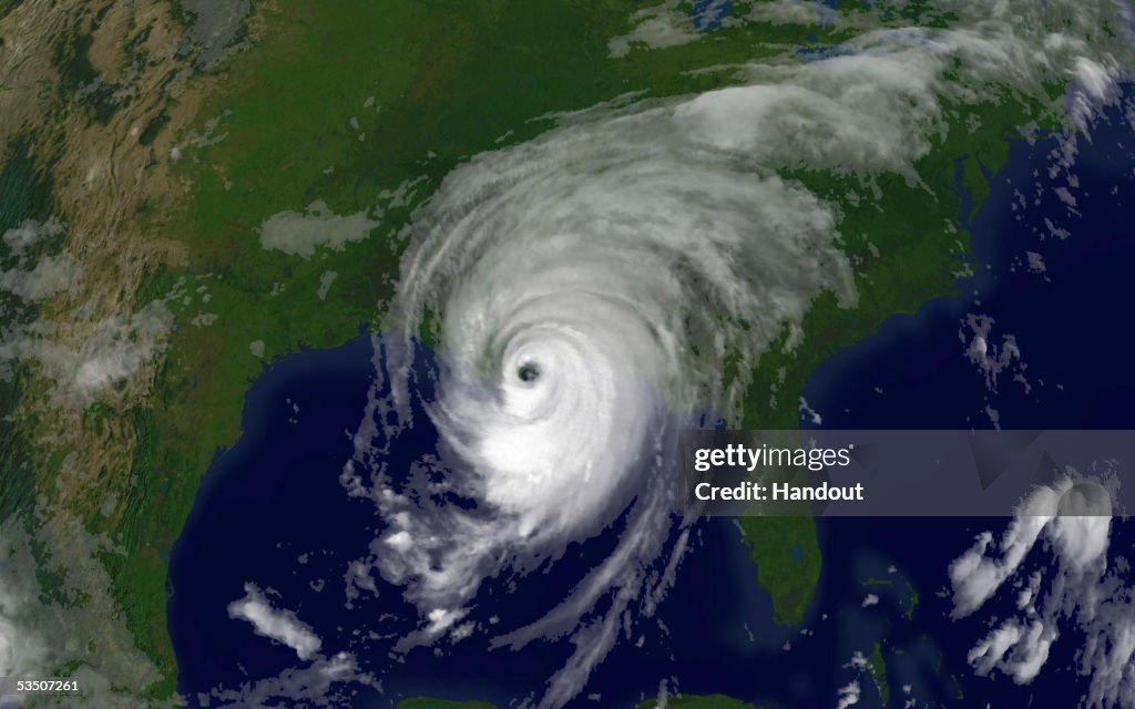
Gulf Coast Braces For Hurricane Katrina
IN SPACE - AUGUST 29: In this satellite image from NOAA, Hurricane Katrina is seen at 8:15am EST on August 29, 2005 over southeastern Louisiana. Katrina made landfall close to Empire, Louisiana with sustained winds at 140 MPH making it a strong category 4 hurricane. (Photo by NOAA via Getty Images)

PURCHASE A LICENCE
How can I use this image?
AED 1,850.00
AED
DETAILS
Restrictions:
Contact your local office for all commercial or promotional uses.Getty Images provides access to this publicly distributed image for editorial purposes and is not the copyright owner. Additional permissions may be required and are the sole responsibility of the end user.
Credit:
Editorial #:
53507261
Collection:
Getty Images News
Date created:
29 August, 2005
Upload date:
Licence type:
Release info:
Not released. More information
Source:
Getty Images North America
Object name:
53464591ALS004_Katrina
Max file size:
3000 x 1875 px (25.40 x 15.88 cm) - 300 dpi - 1 MB