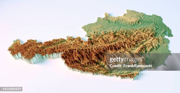
austria topographic map 3d view color isolated - austria map stock pictures, royalty-free photos & images
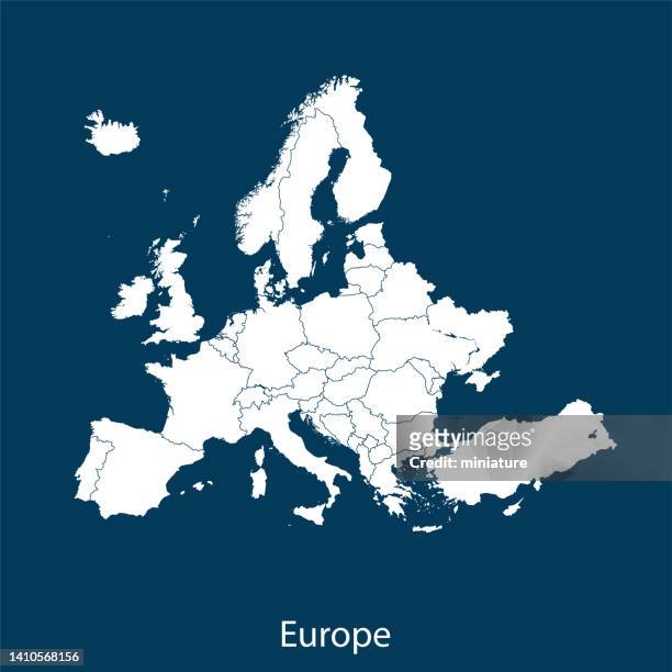
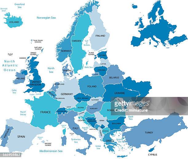
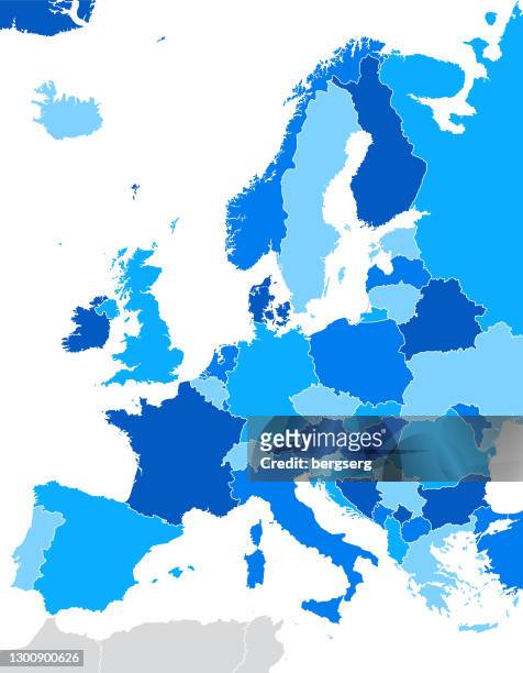
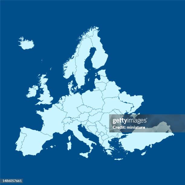
map of europe. vector blue illustration with countries and national geographical borders - austria map stock illustrations
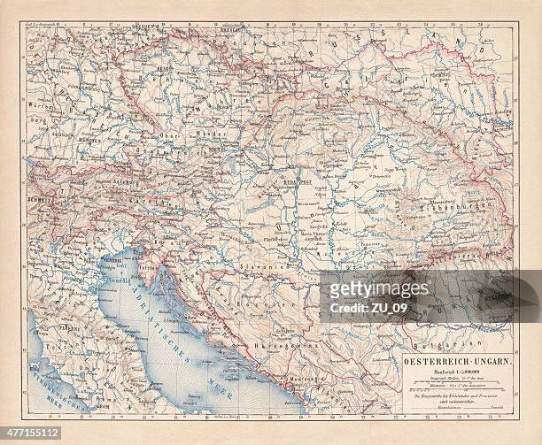
antique map of austria hungary, details of vienna and budapest, 19th century - austria map stock illustrations
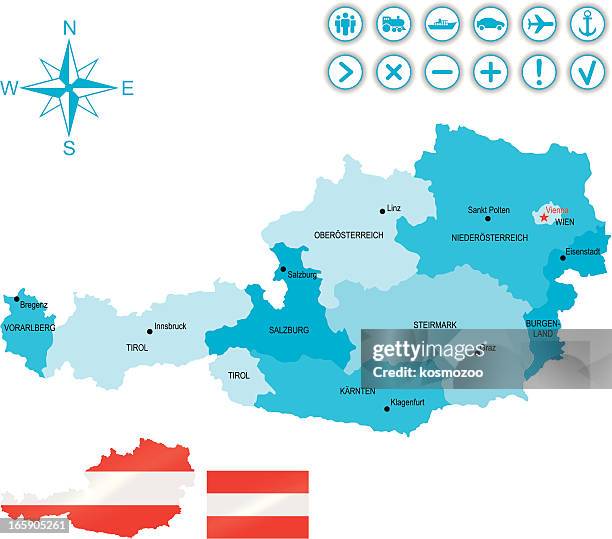
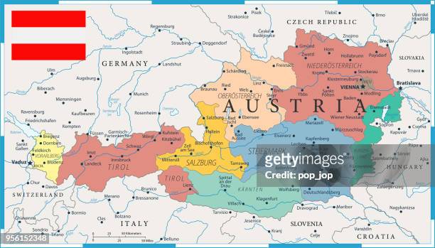
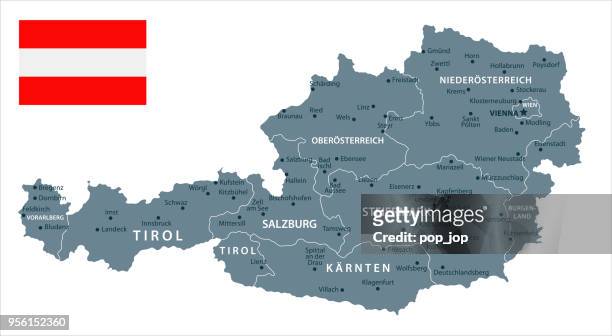
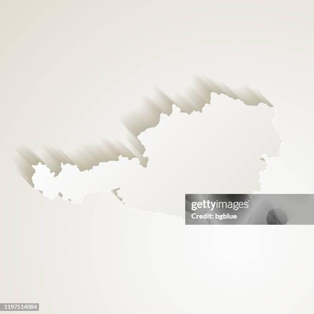
high detailed austria blue map with regions and national borders of slovenia, italy, croatia, hungary, slovakia, czech republic, germany, switzerland and liechtenstein - austria map stock illustrations
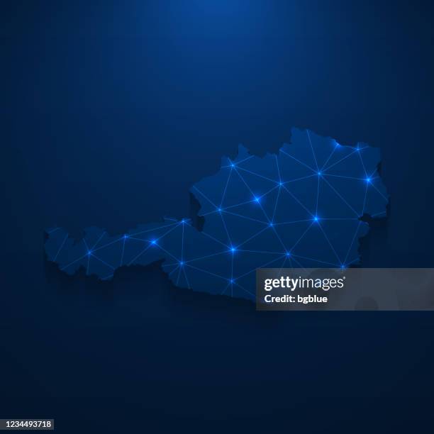
austria map in low poly style - colorful polygonal geometric design - austria map stock illustrations
austro-hungarian empire, habsburg monarchy, lithograph, published in 1877 - austria map stock illustrations
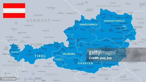
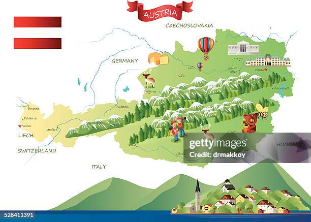
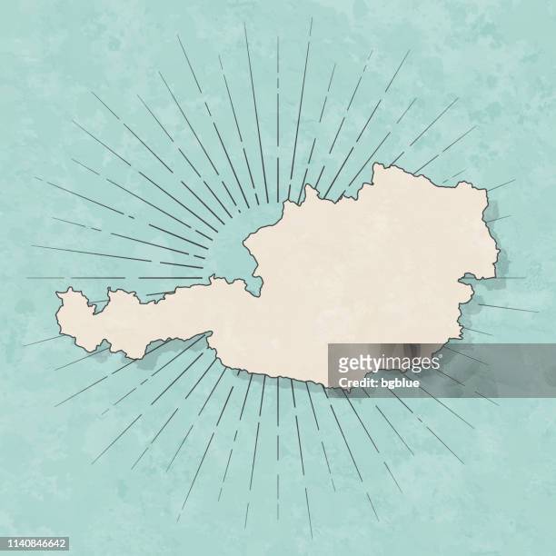
vintage map of austria. vector old illustration with pastel colors, national flag and geographical borders - austria map stock illustrations
austria upper austria topographic map 3d view color isolated - austria map stock pictures, royalty-free photos & images
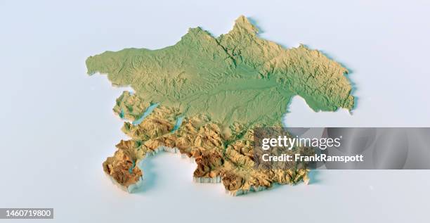
austria lower austria vienna topographic map 3d view color - austria map stock pictures, royalty-free photos & images
old map of austria (danube monarchy), steel engraving, published 1857 - austria map stock illustrations
salzburg austria 3d render aerial horizon view from south jun 2019 - austria map stock pictures, royalty-free photos & images
lake constance 3d little planet 360-degree sphere panorama - austria map stock pictures, royalty-free photos & images
family playing large modern board game together at home - austria map stock pictures, royalty-free photos & images
old chromolithograph map of carinthia, southernmost austrian state, in the eastern alps, and is noted for its mountains and lakes - austria map stock pictures, royalty-free photos & images


![blue glowing earth crop [europe] - austria map stock pictures, royalty-free photos & images](https://media.gettyimages.com/id/173031936/photo/blue-glowing-earth-crop-europe.jpg?s=612x612&w=gi&k=20&c=NeA6oaBartanTL_KMxyEcYWD-oAXxhY1NZNtYZ2O9Lg=)