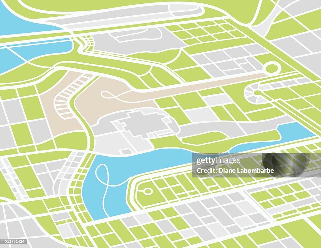
Aerial City Map - stock illustration
Aerial City Map from above. Lots of streets, waterways and residential areas.

Get this image in a variety of framing options at Photos.com.
PURCHASE A LICENCE
All Royalty-Free licences include global use rights, comprehensive protection, and simple pricing with volume discounts available
AED 1,850.00
AED
DETAILS
Credit:
Creative #:
511931424
Licence type:
Collection:
DigitalVision Vectors
Max file size:
4697 x 3629 px (39.77 x 30.73 cm) - 300 dpi - 3 MB
Upload date:
Release info:
No release required
Categories: