Alaska Map - stock illustration
A very detailed map of Alaska state with cities, roads, major rivers and lakes, and national parks. Includes neighboring countries and surrounding water.

Get this image in a variety of framing options at Photos.com.
PURCHASE A LICENCE
All Royalty-Free licences include global use rights, comprehensive protection, and simple pricing with volume discounts available
AED 1,300.00
AED
Getty ImagesAlaska Map High-Res Vector Graphic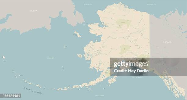 Download premium, authentic Alaska Map stock illustrations from Getty Images. Explore similar high-resolution stock illustrations in our expansive visual catalogue.Product #:455424461
Download premium, authentic Alaska Map stock illustrations from Getty Images. Explore similar high-resolution stock illustrations in our expansive visual catalogue.Product #:455424461AED1,300AED200
Getty Images
In stockDETAILS
Credit:
Creative #:
455424461
Licence type:
Collection:
DigitalVision Vectors
Max file size:
5603 x 3000 px (254.14 x 136.07 cm) - 56 dpi - 11 MB
Upload date:
Release info:
No release required
Categories:
- Alaska - US State,
- Map,
- Bristol Bay,
- Seward - Alaska,
- Road Map,
- Arctic,
- Denali National Park and Preserve,
- Anchorage - Alaska,
- Chukchi Sea,
- Unalaska Harbour,
- Vector,
- Aleutian Islands,
- Barrow - Alaska,
- Bering Sea,
- Bethel - Alaska,
- Cartography,
- Cook Inlet,
- Fairbanks,
- Gates of the Arctic National Park,
- Glacier Bay National Park,
- Gulf Of Alaska,
- Illustration,
- Juneau,
- Katmai National Park,
- Kenai,
- Ketchikan,
- Kodiak Brown Bear,
- Major Road,
- No People,
- Nunivak Island,
- Prince Of Wales Island,
- Prince William Sound,
- River Yukon,
- Road,
- Sitka - Alaska,
- Street,
- Transportation,
- USA,
- Wrangell-St Elias National Park,