El Paso, Texas, USA Vector Map - stock illustration
Topographic / Road map of El Paso, TX, USA United States. Original map data is open data via © OpenStreetMap contributors. All maps are layered and easy to edit.

Get this image in a variety of framing options at Photos.com.
PURCHASE A LICENCE
All Royalty-Free licences include global use rights, comprehensive protection, and simple pricing with volume discounts available
AED 1,300.00
AED
Getty ImagesEl Paso Texas Usa Vector Map High-Res Vector Graphic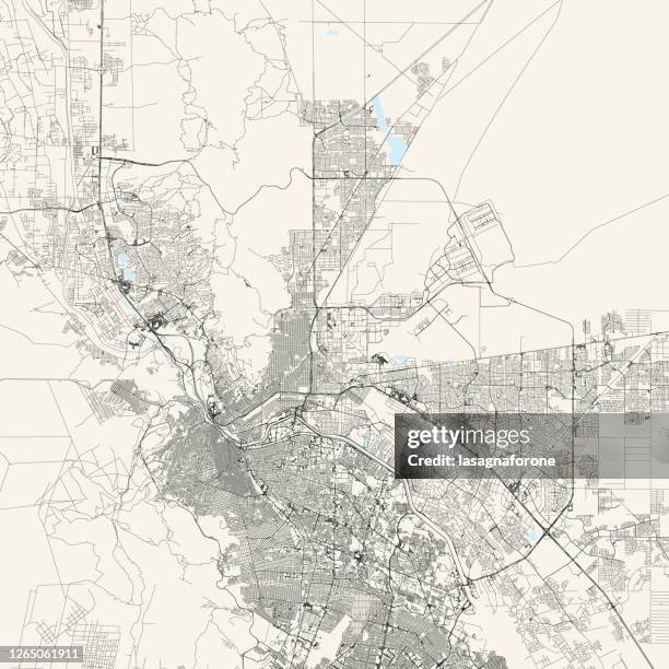 Download premium, authentic El Paso, Texas, USA Vector Map stock illustrations from Getty Images. Explore similar high-resolution stock illustrations in our expansive visual catalogue.Product #:1265061911
Download premium, authentic El Paso, Texas, USA Vector Map stock illustrations from Getty Images. Explore similar high-resolution stock illustrations in our expansive visual catalogue.Product #:1265061911AED1,300AED200
Getty Images
In stockDETAILS
Credit:
Creative #:
1265061911
Licence type:
Collection:
DigitalVision Vectors
Max file size:
4000 x 4000 px (33.87 x 33.87 cm) - 300 dpi - 19 MB
Upload date:
Location:
United States
Release info:
No release required
Categories:
- Map,
- El Paso - Texas,
- El Paso County - Texas,
- Mexico,
- Texas,
- Street Map,
- Illustration,
- Vector,
- Abstract,
- Aerial View,
- Architecture,
- Border Patrol,
- Cartography,
- City,
- City Life,
- City Street,
- Cityscape,
- Ciudad Juarez,
- Colour Image,
- Customs,
- Desert Area,
- Design,
- Diagram,
- Downtown District,
- Emigration and Immigration,
- Ink,
- Line Art,
- Modern,
- National Border,
- No People,
- North America,
- Outline,
- River,
- Road,
- Simplicity,
- Single Line,
- Square - Composition,
- Street,
- Tourism,
- Travel,
- Travel Destinations,
- USA,
- Urban Road,
- Urban Skyline,
- Vacations,
- Water,