Europe Map - illustration - stock illustration
Colored Map of the Europe with Country Names and Capital Cities

Get this image in a variety of framing options at Photos.com.
PURCHASE A LICENCE
All Royalty-Free licences include global use rights, comprehensive protection, and simple pricing with volume discounts available
AED 1,300.00
AED
Getty ImagesEurope Map Illustration High-Res Vector Graphic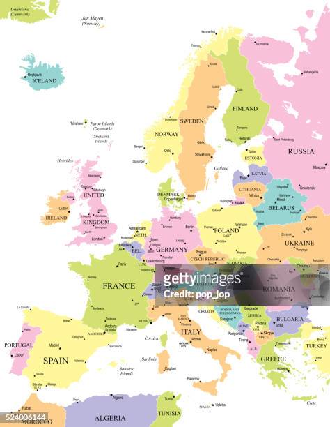 Download premium, authentic Europe Map - illustration stock illustrations from Getty Images. Explore similar high-resolution stock illustrations in our expansive visual catalogue.Product #:524006144
Download premium, authentic Europe Map - illustration stock illustrations from Getty Images. Explore similar high-resolution stock illustrations in our expansive visual catalogue.Product #:524006144AED1,300AED200
Getty Images
In stockDETAILS
Credit:
Creative #:
524006144
Licence type:
Collection:
DigitalVision Vectors
Max file size:
5980 x 7718 px (50.63 x 65.35 cm) - 300 dpi - 6 MB
Upload date:
Release info:
No release required
Categories:
- Capital Cities,
- Europe,
- European Union,
- Map,
- Austria,
- Belgium,
- Blue,
- Business,
- Business Finance and Industry,
- Cartography,
- Central Europe,
- City,
- Clip Art,
- Colours,
- Denmark,
- Extreme Close Up,
- France,
- Geographical Locations,
- Germany,
- Green Colour,
- Identity,
- Illustration,
- International Border,
- Italy,
- Land,
- Macrophotography,
- National Border,
- Netherlands,
- Pink Colour,
- Portugal,
- Russia,
- Sea,
- Spain,
- Sweden,
- Topographic Map,
- Topography,
- UK,
- Vector,
- Western Europe,
- Yellow,