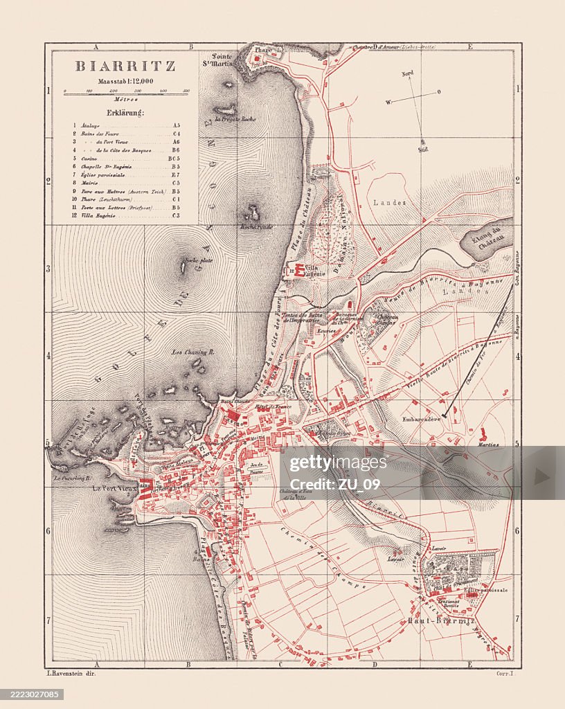
Historical city map of Biarritz, France, lithograph, published in 1880 - stock illustration
Historical city map of Biarritz, France. Lithograph, published in 1880.

Get this image in a variety of framing options at Photos.com.
PURCHASE A LICENCE
All Royalty-Free licences include global use rights, comprehensive protection, and simple pricing with volume discounts available
AED 1,300.00
AED
Getty ImagesHistorical City Map Of Biarritz France Lithograph Published In 1880 High-Res Vector Graphic Download premium, authentic Historical city map of Biarritz, France, lithograph, published in 1880 stock illustrations from Getty Images. Explore similar high-resolution stock illustrations in our expansive visual catalogue.Product #:2223027085
 Download premium, authentic Historical city map of Biarritz, France, lithograph, published in 1880 stock illustrations from Getty Images. Explore similar high-resolution stock illustrations in our expansive visual catalogue.Product #:2223027085
AED1,300AED200
Getty Images
In stockDETAILS
Credit:
Creative #:
2223027085
Licence type:
Collection:
DigitalVision Vectors
Max file size:
6313 x 7918 px (53.45 x 67.04 cm) - 300 dpi - 40 MB
Upload date:
Location:
France
Release info:
Property released
Categories:
- 19th Century,
- Antiquities,
- Atlantic Ocean,
- Beige Background,
- Biarritz,
- Chromolithograph,
- City,
- Coastal Feature,
- Coastline,
- Colour Image,
- Cultures,
- Downtown District,
- Drawing - Artistic Product,
- Engraved Image,
- Engravement,
- Europe,
- European Culture,
- Famous Place,
- France,
- French Culture,
- History,
- Illustration,
- Island,
- Lithograph,
- Map,
- No People,
- Nostalgia,
- Nouvelle-Aquitaine,
- Old,
- Plan - Document,
- Pyrénées-Atlantiques,
- Red,
- Spa,
- Street Map,
- The Past,
- Topographic Map,
- Topography,
- Tourism,
- Town,
- Travel,
- Travel Destinations,
- Vertical,