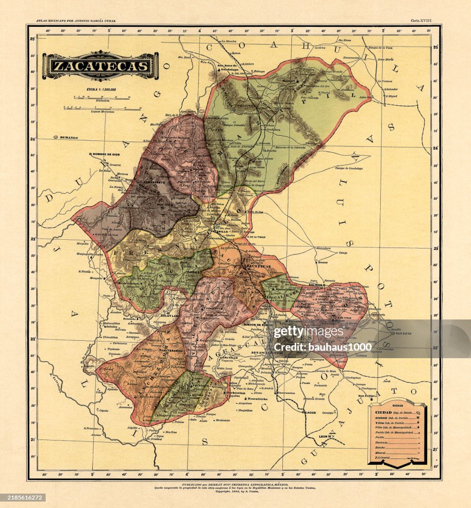
Historical Map of the Country of Mexico, Published in 1885. Estados Unidos Mexicanos, Zacatecas - stock illustration
Historical Map of the Country of Mexico, Published in 1885. Copyright has expired on this artwork. Digitally restored. Estados Unidos Mexicanos, Zacatecas

Get this image in a variety of framing options at Photos.com.
PURCHASE A LICENCE
All Royalty-Free licences include global use rights, comprehensive protection, and simple pricing with volume discounts available
AED 1,300.00
AED
Getty ImagesHistorical Map Of The Country Of Mexico Published In 1885 estados Unidos Mexicanos Zacatecas High-Res Vector Graphic Download premium, authentic Historical Map of the Country of Mexico, Published in 1885.
Estados Unidos Mexicanos, Zacatecas stock illustrations from Getty Images. Explore similar high-resolution stock illustrations in our expansive visual catalogue.Product #:2185616272
 Download premium, authentic Historical Map of the Country of Mexico, Published in 1885.
Estados Unidos Mexicanos, Zacatecas stock illustrations from Getty Images. Explore similar high-resolution stock illustrations in our expansive visual catalogue.Product #:2185616272
Download premium, authentic Historical Map of the Country of Mexico, Published in 1885.
Estados Unidos Mexicanos, Zacatecas stock illustrations from Getty Images. Explore similar high-resolution stock illustrations in our expansive visual catalogue.Product #:2185616272AED1,300AED200
Getty Images
In stockDETAILS
Credit:
Creative #:
2185616272
Licence type:
Collection:
DigitalVision Vectors
Max file size:
5123 x 5529 px (43.37 x 46.81 cm) - 300 dpi - 35 MB
Upload date:
Location:
United States
Release info:
Property released
Categories:
- 19th Century,
- 19th Century Style,
- Antique,
- Archival,
- Cartographer,
- Cartography,
- Chart,
- Colour Image,
- Colours,
- Continent - Geographic Area,
- Country Map,
- Diagram,
- Engraved Image,
- Engravement,
- Graphic Print,
- Gulf of Mexico,
- History,
- Horizontal,
- Illustration,
- Lithograph,
- Map,
- Mexico,
- Multi Coloured,
- National Border,
- No People,
- North America,
- Old,
- Old-fashioned,
- Pacific Ocean,
- Paper,
- Physical Geography,
- Retro Style,
- Textured,
- The Past,
- Topography,
- Tourism,
- Travel,
- Vertical,
- Victorian Style,
- World Map,
- Zacatecas State,