Illinois Vector Map - stock illustration
"Highly detailed vector map of Illinois, United States. File was created on November 12, 2012. The colors in the .eps-file are ready for print (CMYK). Included files: EPS (v8) and Hi-Res JPG (5600aa aaa 5600 px)."

Get this image in a variety of framing options at Photos.com.
PURCHASE A LICENCE
All Royalty-Free licences include global use rights, comprehensive protection, and simple pricing with volume discounts available
AED 1,300.00
AED
Getty ImagesIllinois Vector Map High-Res Vector Graphic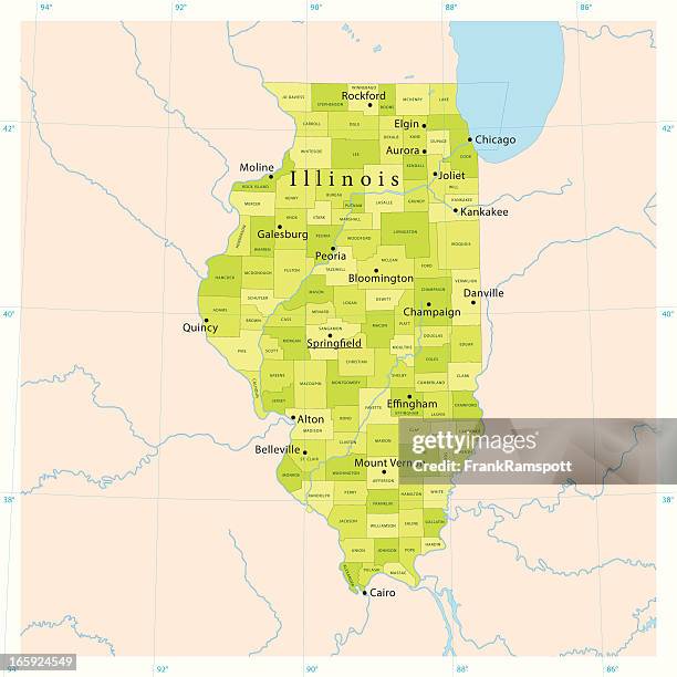 Download premium, authentic Illinois Vector Map stock illustrations from Getty Images. Explore similar high-resolution stock illustrations in our expansive visual catalogue.Product #:165924549
Download premium, authentic Illinois Vector Map stock illustrations from Getty Images. Explore similar high-resolution stock illustrations in our expansive visual catalogue.Product #:165924549AED1,300AED200
Getty Images
In stockDETAILS
Credit:
Creative #:
165924549
Licence type:
Collection:
DigitalVision Vectors
Max file size:
4094 x 4096 px (79.38 x 79.42 cm) - 131 dpi - 6 MB
Upload date:
Release info:
Model and property released
Categories:
- Map,
- Illinois,
- Chicago - Illinois,
- Vector,
- Lake Michigan,
- Elgin - Illinois,
- Peoria - Illinois,
- River Illinois,
- Springfield - Illinois,
- Blue,
- Cartography,
- Clip Art,
- Colour Image,
- Computer Graphic,
- Digitally Generated Image,
- Green Colour,
- Illustration,
- Lake,
- Latitude,
- Longitude,
- No People,
- Non-Urban Scene,
- North America,
- Physical Geography,
- Quincy - Illinois,
- River,
- Rockford,
- Satellite View,
- Sea,
- Square - Composition,
- US State Border,
- USA,
- View Into Land,