Map of the Balkan Peninsula, late 19th century, lithograph, 1893 - stock illustration
Historical map of the Balkan Peninsula, late 19th century. Explanations in German. Lithograph, published in 1893.

Get this image in a variety of framing options at Photos.com.
PURCHASE A LICENCE
All Royalty-Free licences include global use rights, comprehensive protection, and simple pricing with volume discounts available
AED 1,300.00
AED
Getty ImagesMap Of The Balkan Peninsula Late 19th Century Lithograph 1893 High-Res Vector Graphic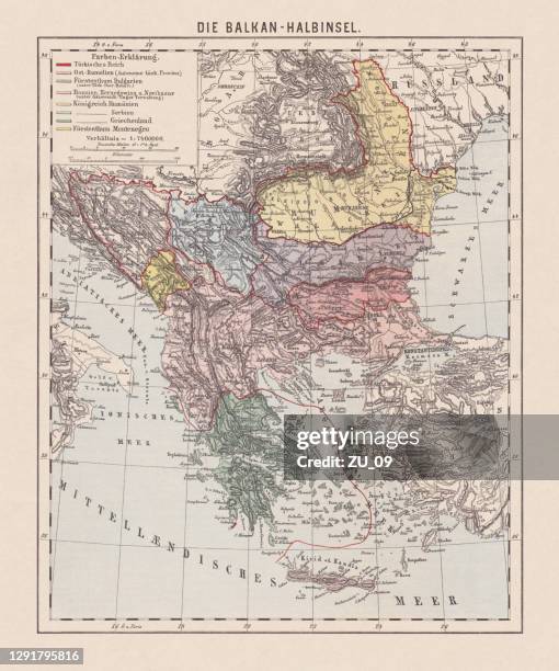 Download premium, authentic Map of the Balkan Peninsula, late 19th century, lithograph, 1893 stock illustrations from Getty Images. Explore similar high-resolution stock illustrations in our expansive visual catalogue.Product #:1291795816
Download premium, authentic Map of the Balkan Peninsula, late 19th century, lithograph, 1893 stock illustrations from Getty Images. Explore similar high-resolution stock illustrations in our expansive visual catalogue.Product #:1291795816AED1,300AED200
Getty Images
In stockDETAILS
Credit:
Creative #:
1291795816
Licence type:
Collection:
DigitalVision Vectors
Max file size:
6454 x 7745 px (54.64 x 65.57 cm) - 300 dpi - 48 MB
Upload date:
Location:
Germany
Release info:
Property released
Categories:
- Map,
- History,
- Bosnia and Herzegovina,
- Romania,
- Old,
- The Past,
- Peninsula,
- Russia,
- Bulgaria,
- Greece,
- Ottoman Empire,
- Serbia,
- Chromolithograph,
- 19th Century,
- Adriatic Sea,
- Albania,
- Artistic Product,
- Black Sea,
- Cartography,
- Coastline,
- Colour Image,
- Country - Geographic Area,
- Crete,
- Dalmatia Region - Croatia,
- Development,
- Drawing - Artistic Product,
- Engraved Image,
- Engravement,
- Etching,
- Europe,
- European Culture,
- Germany,
- Green Colour,
- Hungary,
- Illustration,
- Island,
- Lithograph,
- Mediterranean Sea,
- Montenegro,
- Multi Coloured,
- Nostalgia,
- Obsolete,
- Southern Europe,
- Topographic Map,
- Topography,
- Türkiye - Country,
- Vertical,
- White Background,
- Yellow,